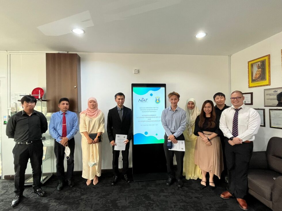
Network Integrity Assurance Technologies (NiAT) Sdn Bhd, Brunei’s sole local satellite communication service provider, and Universiti Brunei Darussalam (UBD) has recently gathered at NiAT’s Headquarters in Menglait, to commemorate the ongoing collaboration between the two organizations through the NiAT OBSERVE Academia Grant that was awarded to UBD on 16th April 2022.
The fete was hosted by Mr. Lim Ming Soon, Chief Executive Officer of NiAT, and joined by the management and OBSERVE project engineers. Present on behalf of UBD were Associate Professor Dr. Abby Tan Chee Hong, Assistant Vice-Chancellor (Research); Dr. Kathrina binti Dato Paduka Hj Mohd Daud, Assistant Professor and Dean, Faculty of Social Sciences (FASS); and Dr Shafi Noor Islam, Senior Assistant Professor at the Department of Geography, Environment and Development Studies.
In his opening remarks, Mr Lim Ming Soon described the partnership between NiAT and UBD as a “practical initiative to promote the satellite data analytics sector in Brunei Darussalam, with the goal of generating highly-skilled graduates who, having been exposed to satellite remote sensing, geographical information systems and image processing analytics, will find these technologies to be useful and applicable when addressing the real-world challenges that they will face in the next stage of their careers”.
In addition, he also emphasized that the academic grant is part of NiAT’s initiative to introduce a new market segment in Brunei that would create new career opportunities and entrepreneurship in the geospatial sector.
”NiAT looks forward to being a committed partner to UBD in the coming year and to witnessing the institution’s academics, students, and staff achieve their desired successes in educational, research and administrative purposes, whilst enhancing their teaching and research capabilities on campus.”
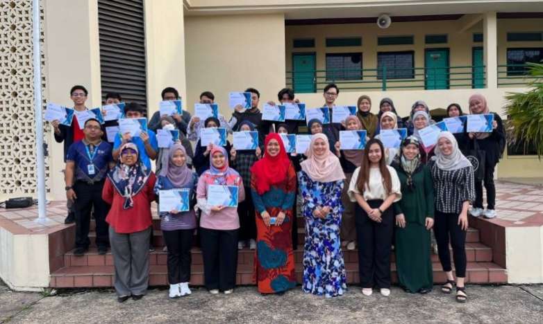
UBD was selected as the recipient of the OBSERVE Academia Grant following the submission of more than 10 projects that involve more than 15 students and teaching staff with topics pertaining towards monitoring the effects of climate change and infrastructure development as well as the use of data analytics in natural resource management.
Through this 1-year grant, UBD will be able to train directly with NiAT GIS Engineers to utilize the OBSERVE Geographical Information Systems – GIS platform that is equipped with the ESRI ArcGIS software, selected satellite data and imagery, remote sensing data analytics for object identification and classification, monitoring and change detection tools as well as the powerful data visualization and information sharing features.
NiAT offered the OBSERVE Academia Grant for the first-time last year in conjunction with the Geographical Information System (GIS) Day celebration in an effort to stimulate innovative solutions using GIS and satellite data while bolstering students and teachers with new skills and competencies.