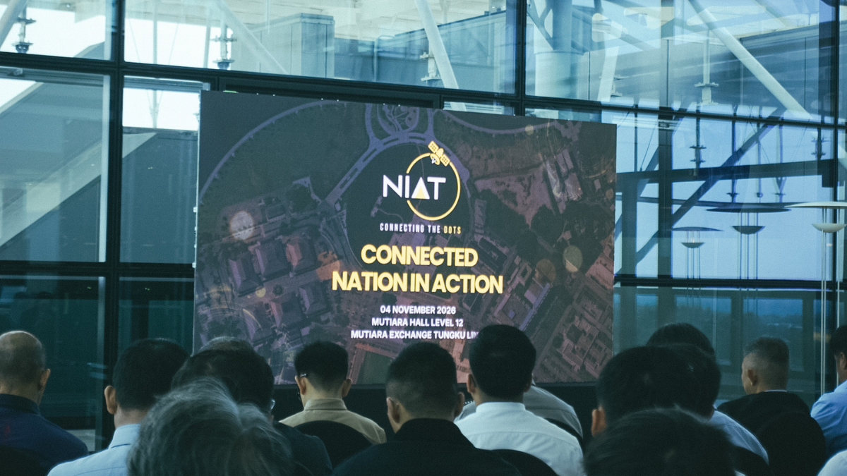
Bandar Seri Begawan, 4th November 2026 – Network Integrity Assurance Technologies
(NIAT) Sdn. Bhd., Brunei’s leading provider of satellite communication and geospatial
solutions, successfully hosted its industry engagement event titled “Connected Nation in
Action” on Wednesday 4th November 2026. The event was held at the Mutiara Hall, Level 12,
Mutiara Exchange, Tungku Link.
The event brought together around 80 key representatives from various government
agencies, private sector organizations and educational institutions, providing a platform for
stakeholders to explore the role of geospatial intelligence and emerging technologies in
supporting national development, operational efficiency and informed decision-making.


A key highlight of the programme was the showcase of OBSERVE™, NIAT’s proprietary
geospatial platform that integrates real-time data, location intelligence and advanced
analytics into a single operational view. Through his presentation, “Connecting the Dots for
a Responsive Brunei”, Razzaq Ya’akub, a Programmer at NIAT, demonstrated how the
platform empowers organisations to make faster, data-driven decisions through enhanced
situational awareness and intelligent monitoring capabilities.
Complementing the session, Muhd Bazil Hijazi bin Haji Muhd Bazil Nabil Fikri, GIS Engineer, presented “BRAVE: Unified Emergency Response System”, highlighting the application of geospatial technology in strengthening emergency response coordination and operational readiness. Collectively, the presentations showcased the potential of locally developed digital solutions to support smarter governance, emergency preparedness and contribute to Brunei Darussalam’s digital transformation journey.
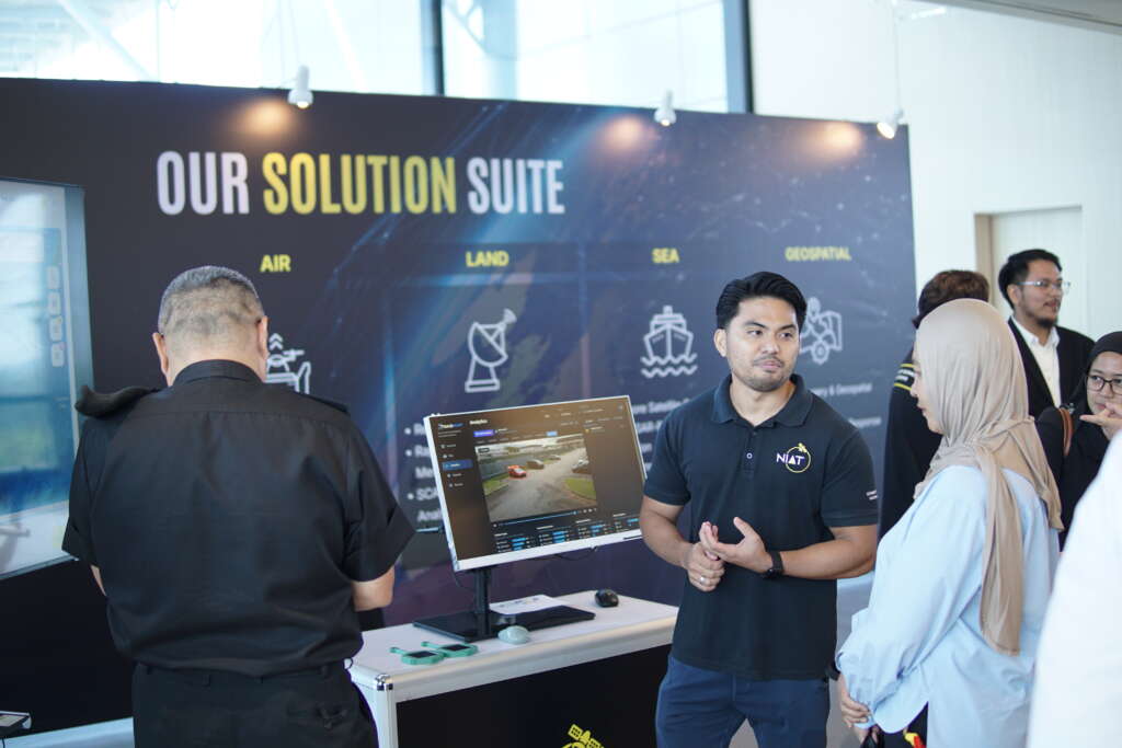
Following the presentations, guests were invited to explore a series of interactive exhibition booths showcasing NIAT’s geospatial capabilities and sector-specific solutions.
Through live dashboards, digital mapping applications and technology demonstrations,
visitors experienced how geospatial intelligence can transform the way organizations
monitor assets, manage operations and respond to emerging challenges.
Connected Nation in Action highlights the potential of geospatial technology to address the
challenges across a wide range of sectors. In support of Brunei Darussalam’s aspirations
under Wawasan Brunei 2035, NIAT continues to develop locally managed solutions that
enable better decisions, strengthen coordination and help build a smarter, more connected
nation.